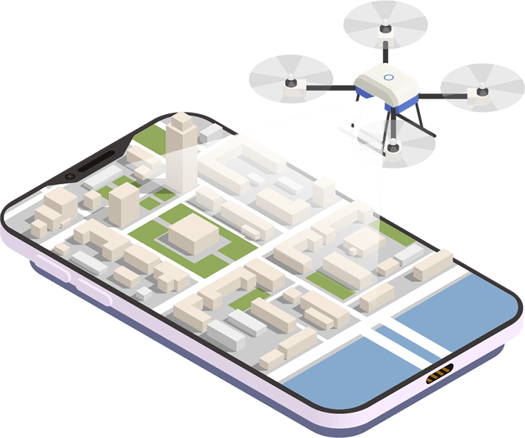
Our Drone mapping software can used in different sectors including construction, agriculture, mining, infrastructure inspection and real estate. Having a clear, accurate photograph or 3D model of your project area, complete with measurements, is advantageous in terms of decision-making. Our Software easily enables user to put together a comprehensive survey of land, buildings and infrastructure and presents it in a variety of easy to manage formats.


Solution
- Instant Insights:Capture data in real-time as the drone flies with Live Map
- In-Field Analysis and Reporting:Make smarter decisions on site with fast data analysis and reporting
- Easy-To-Use:Schedule flights to collect drone intelligence data into map
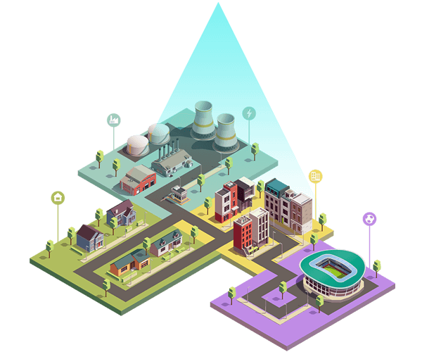
Related Use Cases

© 2020 BrAeIn. All rights reserved.